The Upper Colorado River: River Trip Information
From Pumphouse to Glenwood Canyon: Colorado River Sections
The Upper Colorado River runs from near Kremmling to Glenwood Canyon, where it meets the Eagle River. You can access the river from Highway 9 near Kremmling, Hwy 131 near Wolcott, or Hwy 301 near Dotsero. Map of Upper Colorado River region.
This operation is conducted by Arkansas Valley Adventures.
BLM River Map Pumphouse to State Bridge
Pumphouse to Radium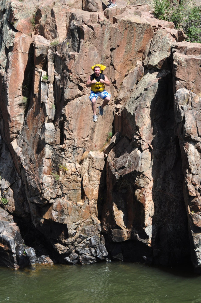
4.5 miles
Class II-III
Mostly beginner whitewater, the largest feature/rapid in this section is Needle’s Eye. Above 4,000 cfs this rapid has two very large holes. This section takes you through Little Gore Canyon, past Jump Rock and past the natural hot springs on river left.
Radium to Rancho del Rio
6.5 miles
Class II-III
Mostly beginner whitewater. This section takes you through Red Gore Canyon. Yarmony Rapid is Class III. Rancho del Rio is a private take-out available to the public for a fee.
Rancho del Rio to State Bridge
4 miles
Class I-II
Beginner whitewater.
Map of Upper Colorado River: State Bridge to Dotsero/Glenwood Canyon
Get Gear